Terradron logo

Mapping of hard-to-reach areas

Comprehensive and efficient surface surveys

Data capture for detailed 3D models

Terradron s.r.o. is a leading provider of drone services in Slovakia, specialising in mapping, scanning and industrial inspections. Our motto #AdvancedAerialData is your ticket to the world of modern technology.

Our services

AERIAL MAPPING
Orthomosaic
An orthomosaic provides an accurate image of every point together with precise coordinates that can be used immediately. 
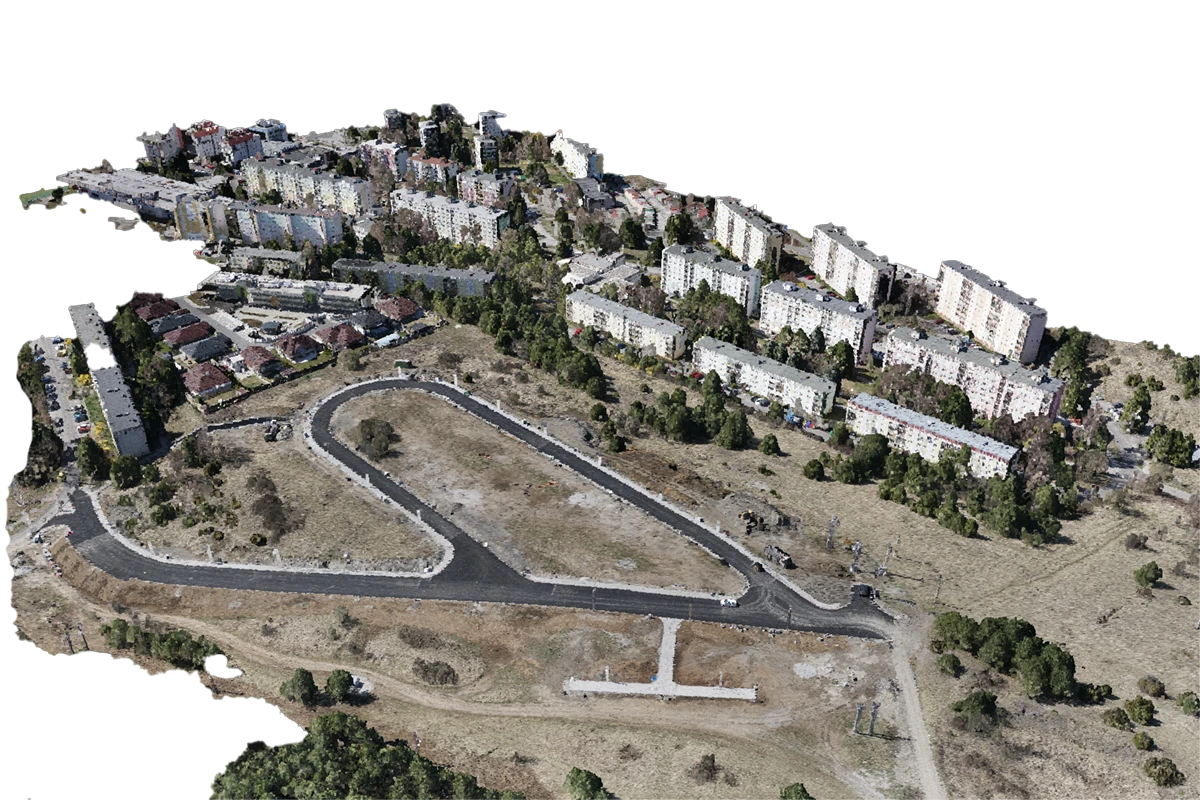
Drone orthomosaic of an urban area
AERIAL MAPPING
Point cloud
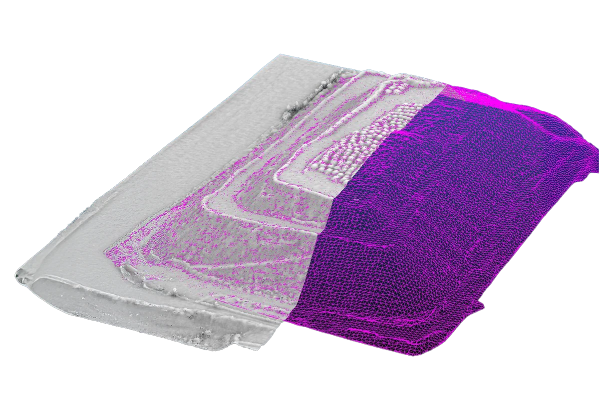
A point cloud records the position of every object in space, enabling detailed analysis of the area.
3D model of a city district created from drone data
AERIAL MAPPING
3D model
We turn drone data into 3D models, elevation maps and digital terrain models. 
Viewing a 3D model of a structure on a tablet
AERIAL MAPPING
Multispectral map
Multispectral sensors collect detailed data on vegetation, soil and water regime.
Multispectral NDVI vegetation map from a drone
AERIAL SCANNING
Terrain survey
Unlike traditional surveying methods, LiDAR can cover large areas in a short time. 
LiDAR point cloud of terrain and a structure
DRONE INSPECTIONS
Indoor inspections
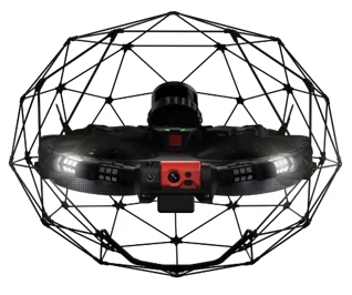
A special collision-tolerant drone safely explores even narrow and hazardous spaces. 
Elios inspection drone with protective cage
DRONE INSPECTIONS
Thermal inspections
A drone-mounted thermal camera reveals heat loss, faults and other hidden problems.
Thermal image of an industrial facility taken by drone
DRONE INSPECTIONS
Outdoor inspections
Drones can check the condition of structures without scaffolding, shutdowns or unnecessary risk. 
Elios inspection drone with protective cage

References

FAQs

Terradron offers aerial mapping, aerial inspections, LiDAR scanning, industrial inspections, thermal imaging and multispectral mapping.

Our services are designed for the energy sector, oil & gas, water supply and sewerage operators, the chemical industry, metallurgy and mining. They also have a strong position in construction, surveying and urban planning. We bring valuable insights into the landscape for forestry and agriculture as well as environmental monitoring.

Yes, Terradron provides its services across the whole of Slovakia as well as abroad.

Yes, all our pilots are fully certified and comply with the applicable legislation of the Slovak Republic and the EU.

We hold security clearances for access to classified information. We follow strict security protocols to ensure maximum protection and confidentiality of all the information we process.

A typical inspection takes several hours to one day, depending on the size of the project.

We deliver outputs as quickly as possible – most projects are processed within a few days; larger projects depending on their complexity.

We are not afraid of new challenges and complex assignments, and we approach every project responsibly and with regard to its specifics. We offer tailor-made solutions to meet the unique requirements of our clients.

Yes, after the service is completed, projects are securely stored on our systems. We also provide follow-up support and consulting to help you make effective use of the data obtained.

News

Terradron s.r.o.
Kostiviarska cesta 4
974 01 Banská Bystrica
Slovakia
Company ID: 50 358 499
Tax ID: 21 20 297 883
VAT ID: SK 21 20 297 883

© 2026 TERRADRON. All rights reserved. Created by Birdline